
Question: How Long is the Caledon Trailway?
Answer: The Caledon Trailway is 35 kilometres (22 miles) long. This multi-use trail stretches from the hamlet of Terra Cotta to Palgrave and is a significant section of The Great Trail of Canada.
Discovering the Length of the Caledon Trailway
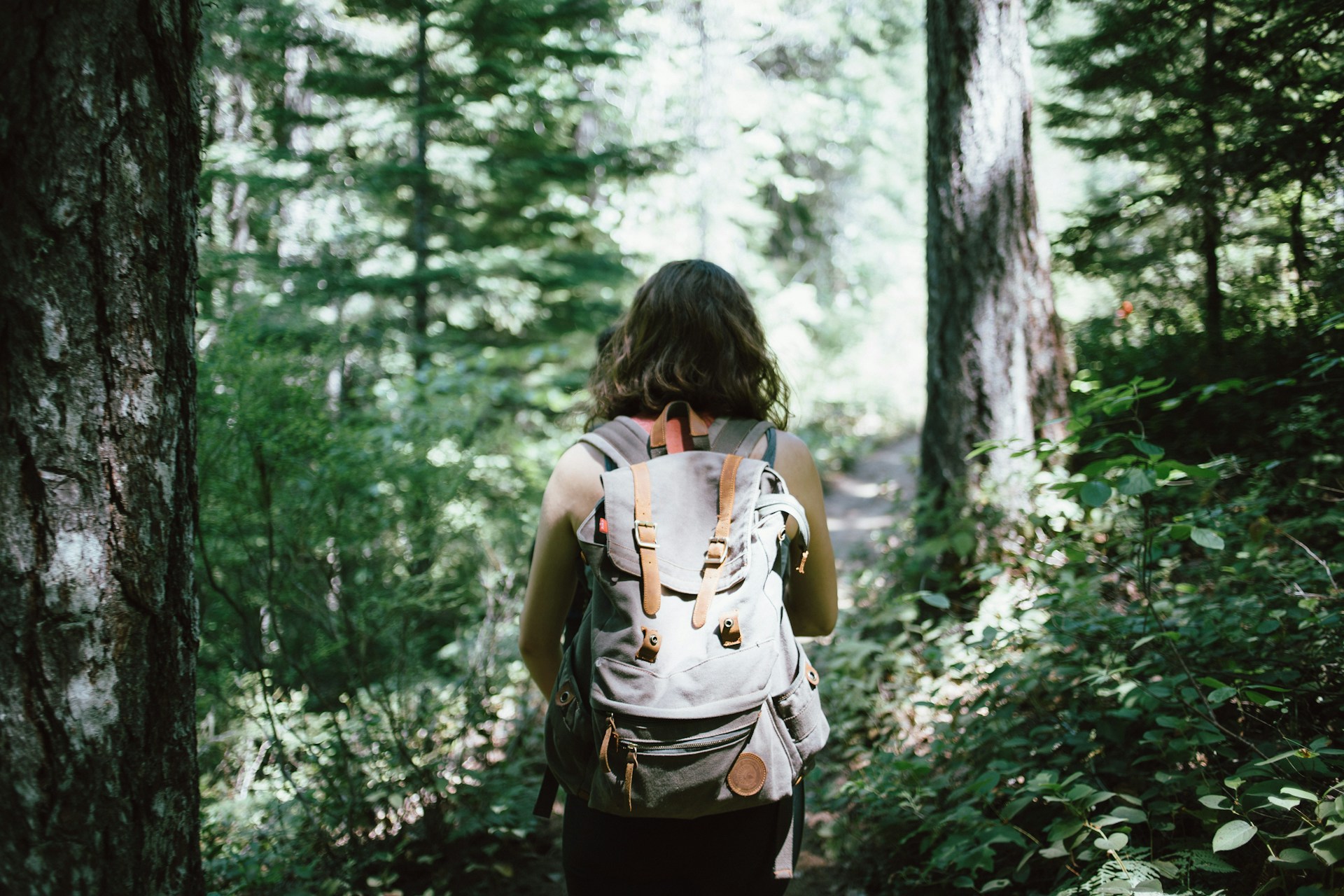
The Caledon Trailway offers a peaceful escape for residents and visitors. This multi-use path winds through scenic landscapes, providing a direct connection to nature. People often ask about its full distance. Understanding the trail’s length helps you plan the perfect outing, whether you want a short walk or a full day’s adventure. It is a vital green corridor that links several communities.
This path is a celebrated part of the Trans Canada Trail. Its well-maintained surface and gentle grade make it accessible to everyone. Families with strollers, cyclists, and equestrians all share the space. The trail showcases the region’s natural beauty and rural charm. We will explore the exact length of this trail and what you can experience along its entire route.
The Trailway’s Total Distance
The Caledon Trailway covers a distance of 35 kilometres. This measurement marks the path from its southern end near Terra Cotta to its northern terminus in Palgrave. The trail follows a linear route, which makes planning your journey simple. You can travel the full length in one direction or complete smaller sections at your leisure. The 35-kilometre distance provides a substantial challenge for avid cyclists and a full day’s hike for determined walkers.
For those seeking a shorter experience, the trail’s numerous access points allow for easy customization. You can choose a 5-kilometre walk or a 10-kilometre bike ride. The clearly marked path ensures you always know your location. The consistent surface and minimal elevation change make the distance feel manageable. This length makes the trail a versatile local amenity for all fitness levels. It offers a perfect setting for both training and casual recreation.
Click here for more information on Brokers Near Me in Caledon
Related Article: How Long is the Caledon Section of the Bruce Trail?
Related Article: What are the Best Things to do in Caledon?
Exploring the Trailway by Activity
The Caledon Trailway welcomes several types of recreational users. The flat, crushed limestone surface makes it ideal for many activities. Walkers and hikers enjoy the stable footing and peaceful surroundings. A brisk walk covering the entire 35-kilometre length would take approximately seven to eight hours. Most people prefer to walk shorter segments, enjoying the scenery at a relaxed pace. The path is wide enough to accommodate groups and individuals comfortably.
Cyclists find the trail to be a fantastic off-road option. The gentle grade allows for a smooth and continuous ride without the stress of vehicle traffic. A cyclist with average fitness can complete the entire 35-kilometre distance in about two to three hours. Equestrians also value the trailway for its accessibility and natural setting. The path provides a safe and scenic route for horseback riding. Here is how you can plan your time:
Walking and Hiking
A leisurely walk of 5 kilometres takes about one hour. Plan for a full day if you want to hike the entire trail in one direction. Remember to bring water and snacks for longer treks.Cycling the Path
You can easily cover 15 to 20 kilometres per hour on a bicycle. This makes a round trip possible for experienced cyclists in a single day. The trail is suitable for hybrid, gravel, or mountain bikes.Equestrian Adventures
Horse riders share the trail with others. Always practice good trail etiquette. The distance offers a great opportunity for a long and enjoyable ride through the countryside. Check local guidelines for equestrian access points.
Historical Roots of the Trailway
The Caledon Trailway exists because of a historic railway line. The path follows the abandoned route of the Hamilton and North-Western Railway. This railway was built in the 1870s to connect communities and transport goods like timber and grain. The trains served the area for many decades, playing a key role in local development. As transportation shifted to roads, the railway line eventually became obsolete and was decommissioned.
In the 1990s, community groups and local government transformed the abandoned corridor into a recreational trail. This preservation effort created the path we enjoy today. The railway’s history directly influences the trail’s character. Engineers designed railways with gentle slopes to accommodate heavy trains. This historical fact means the trail has a very low grade, making it easy for walkers and cyclists to use. The wide corridor once needed for tracks now provides ample space for everyone.
Access Points and Parking Information
You can access the Caledon Trailway from many convenient locations. Each access point offers a different experience and starting point for your adventure. Ample parking is a key feature at several main trailheads, which simplifies planning your visit. One popular spot is the Caledon East Community Complex. It provides a large parking lot, washrooms, and direct access to the trail. This location sits roughly at the trail’s midpoint.
Another excellent access point is in Inglewood. You can find parking near the old station and post office. This spot gives you easy access to the southern half of the trail. In the north, the Palgrave trailhead offers parking for those wanting to explore that section. For people near the south end, the Trans Canada Trail Pavilion in Caledon village is another great starting point. These access points make it easy to enjoy any portion of the trail’s 35-kilometre length.
What You Will See Along the Path
The Caledon Trailway travels through a diverse and beautiful landscape. As you move along the path, the scenery changes, offering constant visual interest. You will pass through quiet woodlands filled with native trees. These forested sections provide welcome shade on sunny days. The trail also crosses open fields and active farmland. Here, you can see wide-open skies and appreciate the area’s agricultural heritage. This mix of environments makes every trip unique.
The trail crosses the Credit River in several places, offering picturesque views from historic bridges. You might see wildlife like deer, birds, and small mammals along the way. The trail also connects you to local history. In Caledon East, the restored train station stands as a reminder of the path’s origins. Near the southern end, the trail provides access to the famous Cheltenham Badlands, a unique geological formation. The journey is as rewarding as the destination.
Conclusion
The Caledon Trailway is 35 kilometres long. This distance creates a significant recreational resource for the community. It connects towns, parks, and natural areas across a beautiful landscape. Its accessibility for walkers, cyclists, and equestrians makes it a truly multi-use path. The trail’s flat grade, a legacy of its railway past, ensures that people of all ages and fitness levels can enjoy it. The journey from Terra Cotta to Palgrave is a wonderful way to experience the local environment.
The trail is more than just a path; it is a community asset. Its well-maintained access points and clear signage make it easy to use. Knowing its length helps you plan everything from a short family walk to a challenging bike ride. This greenway enhances the quality of life for residents, providing a safe and scenic space for exercise and relaxation. We encourage you to explore a section of the trail and discover its charm for yourself. [ 1 ]
References
1. https://facilities.caledon.ca/Home/Detail?CategoryIds=&FacilityTypeIds=30&Keywords=&ScrollTo=google-map-trigger&CloseMap=true&Id=cec5c344-aff9-4cab-b33e-e94ff26d3b2e